Free Gis Maps
Advertisement
ArcGIS Explorer v.10.0.1700
ArcGIS Explorer Desktop is a free GIS viewer that gives you an easy way to explore, visualize, and share GIS information. ArcGIS Explorer adds value to any GIS because it helps you deliver your authoritative data to a broad audience.
Advertisement
GeoMedia Viewer v.6.1.5.19
GeoMedia Viewer is an easy to use, FREE GIS software application for desktop viewing and distribution of geospatial data.
Free satellite map v.1
Free satellite map using the free version of earth viewer.This free and easy to use earth viewer enables you to save or print high resolution satellite map of any part of the earth.
Warcraft II Maps v.7.0
Warcraft II Maps were created for Blizzard Entertainment's highly popular game for the Mac platform.
MapSphere v.1.0.250
MapSphere is a mapping software for Windows that:downloads maps and SATellite Images from different sources (OpenStreetMap, Terraserver, LandSat, and others);stores all the mapping data on the hard drive for offline use;represents the map in 2D and 3
CartoMAP Viewer v.2.0
CartoMAP Viewer can help you to view GIS files.CartoMAP Viewer Features: 1. Use with any database 2. Supports for ArcView shape and MapInfo files 3. Import DXF Entities 4. Various spatial analysis functions 5. Various thematic routines 6. Automatic

Thuban for Linux v.1.2.2
Thuban is an interactive geographic data viewer (GIS viewer) which features methods to visualize, explore, and analyze geographic information.
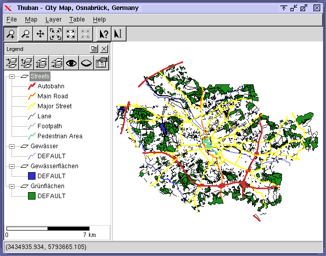
Thuban for Mac OS X 1.0.1-3 v.3
Thuban is an interactive geographic data viewer (GIS viewer) which features methods to visualize, explore, and analyze geographic information.
Thuban for Windows v.1.2.2
Thuban is an interactive geographic data viewer (GIS viewer) which features methods to visualize, explore, and analyze geographic information.
Cadcorp SIS Map Browser v.7 1
Cadcorp Map Browser is an application which allows the user to browse OGC® standard geographic data served on the web. Global demand for open systems interoperability is accelerating. Open Geospatial Consortium, Inc.
ORIMA v.10.0
ORIMA is an LPS add-on providing advanced aerial triangulation and visual analysis tools.